


-
Product Description
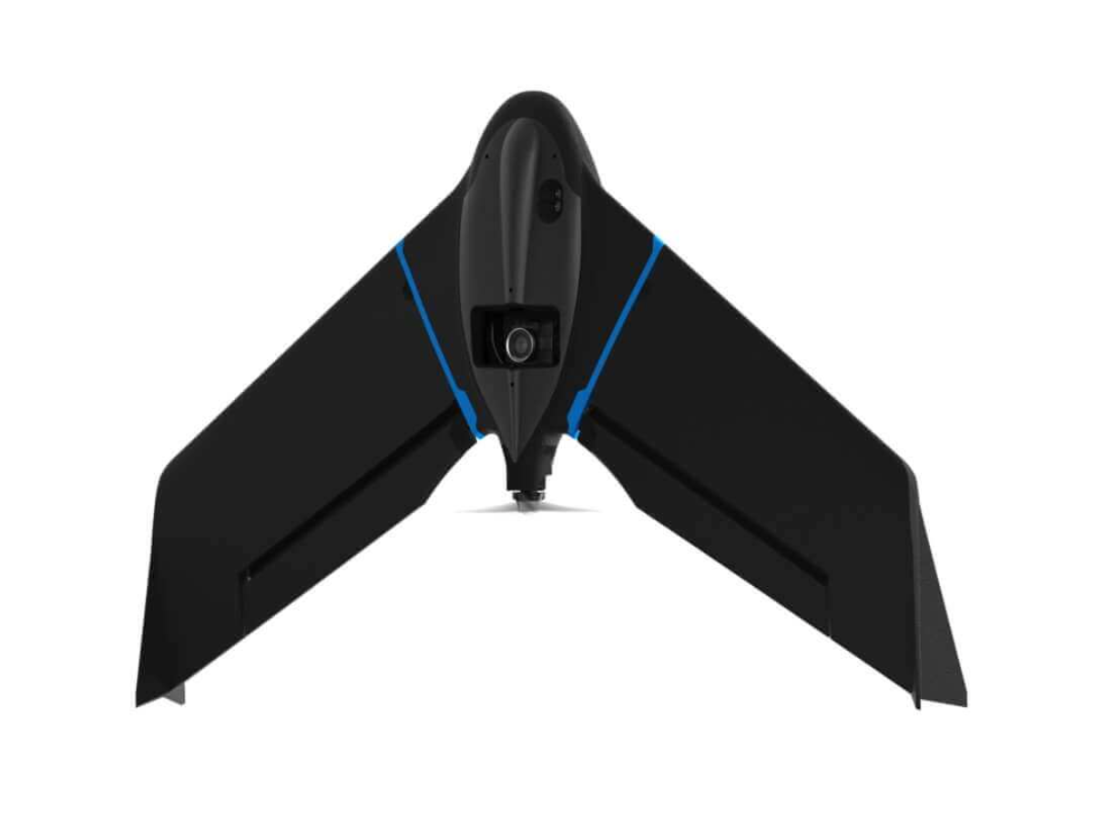
eBee Geo is an affordable fixed-wing mapping drone designed to meet the highest demands of surveyors, civil engineers and GIS professionals worldwide. eBee Geo is rugged, intuitive to operate and makes surveying and mapping small to large areas faster and more efficient than using terrestrial surveying equipment alone. The data collected can quickly be processed into highly-accurate georeferenced orthomosaics, digital elevation models, digital surface models and high-density point clouds to bring additional value beyond common vectors. Designed to complement your surveying toolkit, eBee Geo comes with everything you need to get started, including professional drone camera technology and eMotion, senseFly’s proven flight planning software.
With eBee Geo, you can map up to 160 ha (395 ac) at 120 m (400 ft) with a maximum flight time of 45 minutes. eBee Geo features the S.O.D.A. (Sensor Optimized for Drone Applications) camera. It captures amazingly sharp aerial images, across light conditions, with which to produce detailed, vivid orthomosaics and ultra-accurate digital surface models.