Skycatch Highwall Scanning Solution

3D Data Better Than Laser Scans

Skycatch Highwall Scanning Solution

Product Description

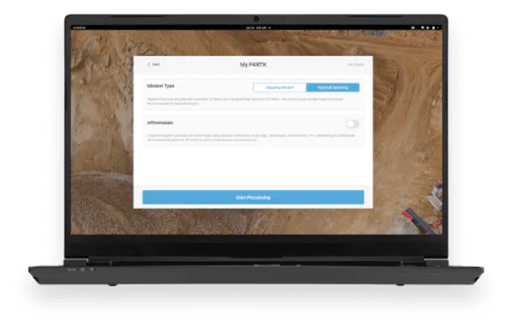
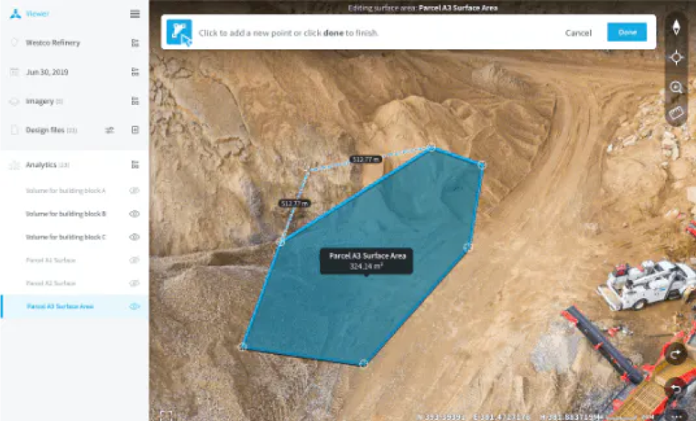
Skycatch provides an “all-in-one” solution for your Highwall Scanning and mapping needs. It provides aerial data capture automation, data processing, visualization, and analysis tools. Skycatch and RMUS will also assist you with personnel onboarding, training and support so that you can get the most of your data.


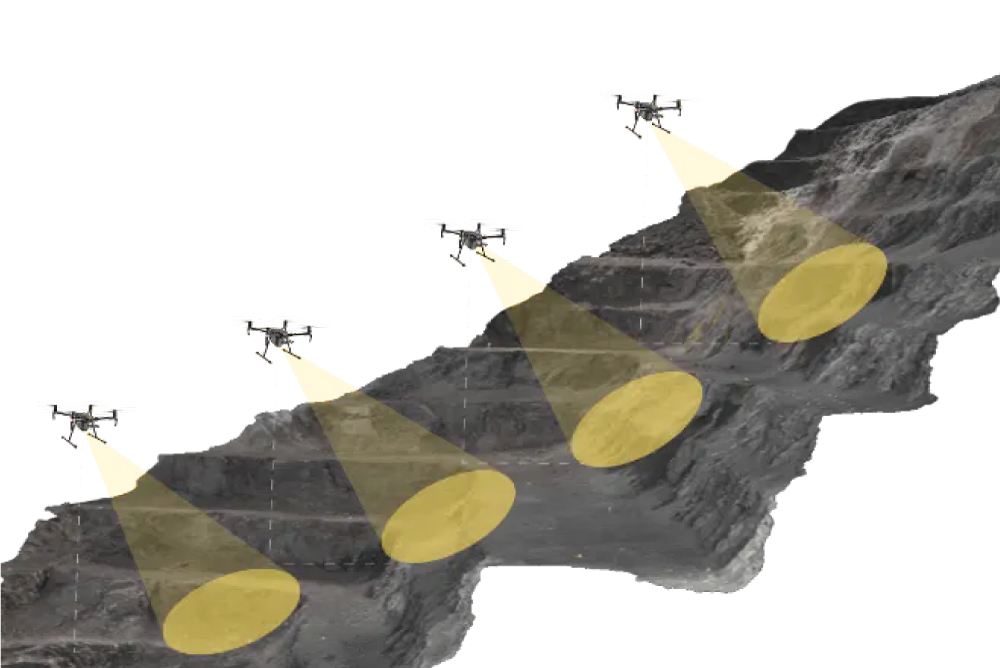
Traditional methods of capturing Highwall data, including laser scanners and manual mapping, are not always reliable and don’t always produce the detail required to make good decisions. Skycatch is the only drone-based solution for Highwall scans that can generate consistent centimeter level data that matches laser scanners. This end-to-end solution provides a higher resolution output without the holes and gaps that laser scans often contain. Traditional methods of capturing Highwall data, including laser scanners and manual mapping, are not as reliable and don’t always produce the detail required to make good decisions.


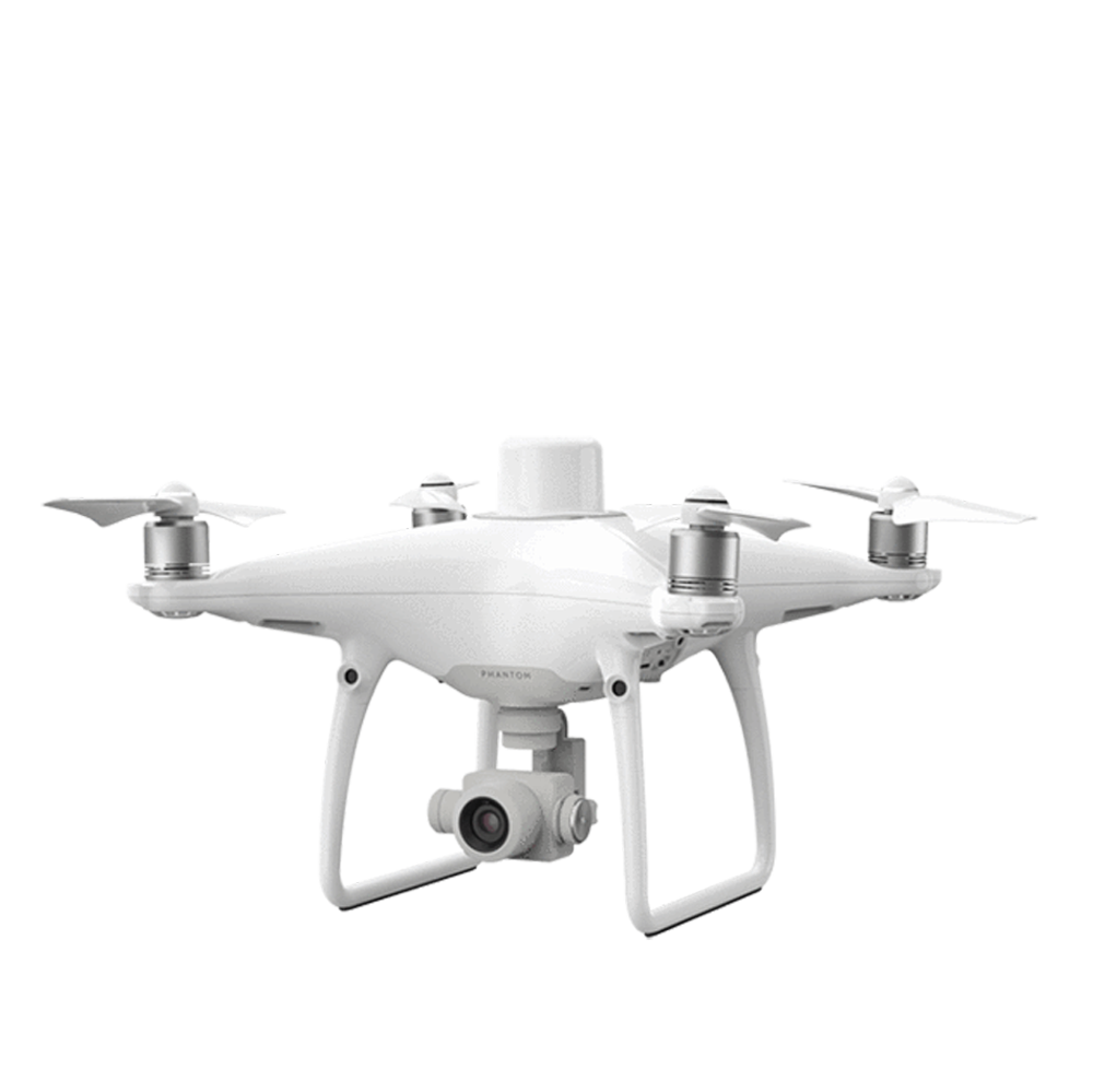
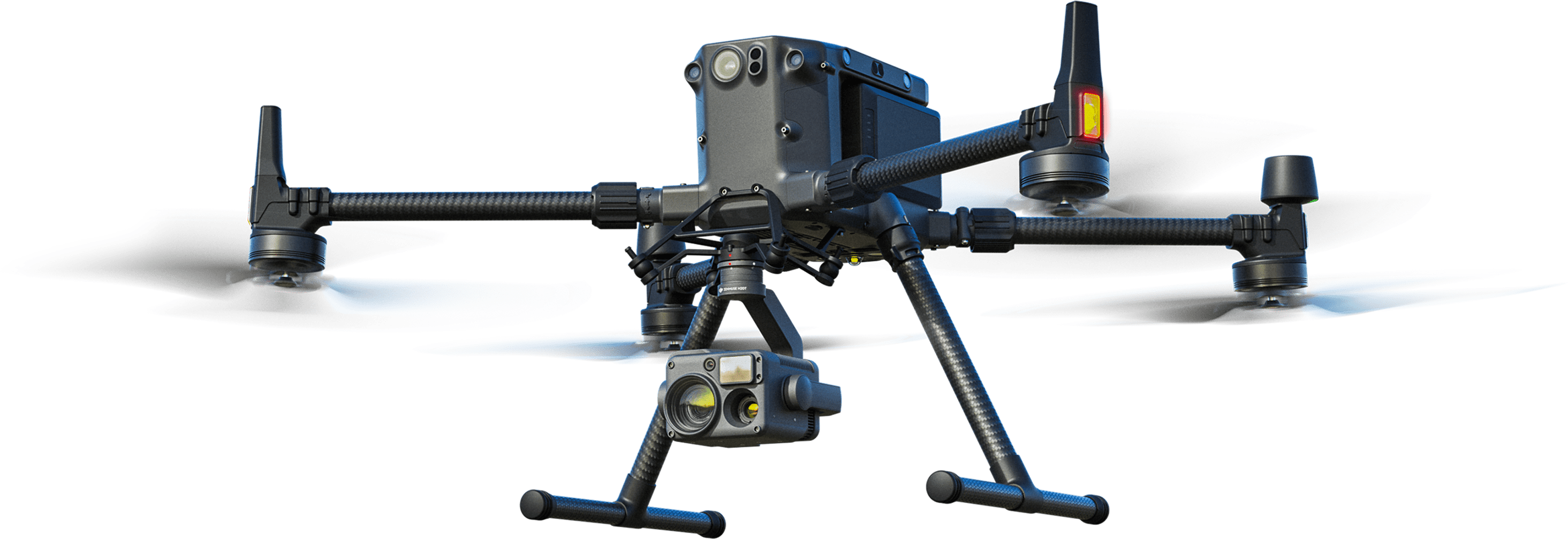
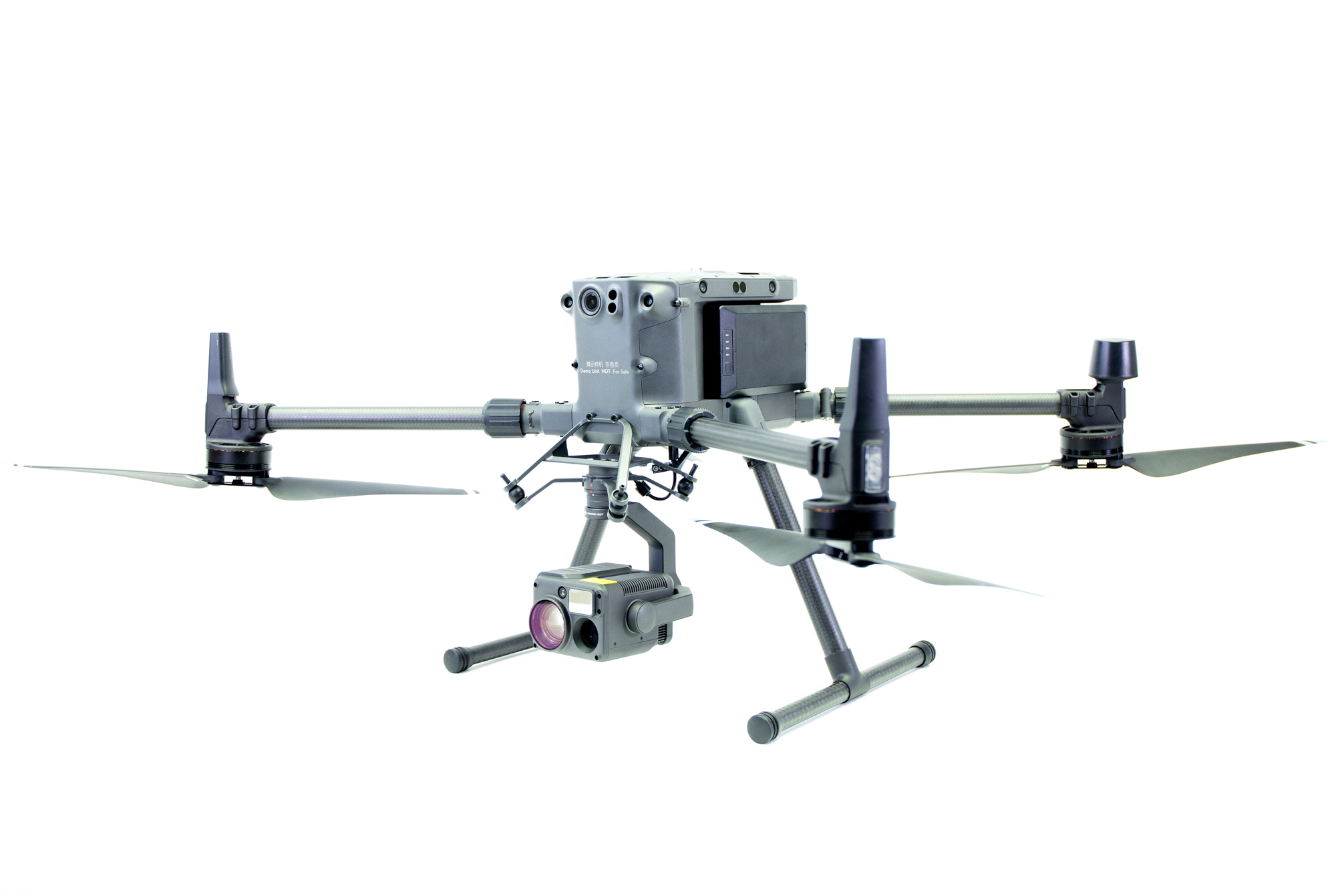
The Highwall Scanning Solution can be configured with either the DJI Phantom 4 RTK or M300 platform. Please click below to get individual quotes on the setup you prefer.


For pricing, please click the links below or call one of our Sales Associates at 800-793-3548

Phantom 4 RTK Highwall Scanning Solution


M300 RTK Highwall Scanning Solution

Highwall 3D Data That Customers Say is Better Than Laser Scans

Geologists and geotechnical engineers know. Efficient and safe pit designs for surface mining rely on good quality highwall data. With the Advanced Highwall Scanning package from Skycatch, your 3D data is accurate to 5 cm or less. High-resolution output means even the smallest of details are visible.

Who uses the Skycatch Highwall Scanning Solution?

Geologists

Geologists and geotechnical engineers know. Efficient and safe pit designs for surface mining rely on good quality highwall data. With the Advanced Highwall Scanning package from Skycatch, your 3D data is accurate to 5 cm or less. High-resolution output means even the smallest of details are visible.


Geotechnical Engineers

Geotechnical Engineers use the highwall data to plan, repair and create safe and efficient pit plans for optimal ore extraction. They also need 3D data that shows color and good visual texture. In addition, they require a more detailed, higher resolution mesh to accurately capture the orientations.


Mine Surveyors

Mine Surveyors are often the busiest team at the mine, capturing the data needed to make the best decisions for highwall mining. They need an easy to use and repeatable solution for capturing high precision 3D highwall data. In order to eliminate any bottlenecks, they want to capture data faster and safer on a more regular basis.


RMUS 360 Solution

Training & Services

Skycatch and RMUS will provide professional training to all aspects of the platform. We can train your pilots and the rest of your teams to deliver consistent and high accuracy results.

Additional premium levels of tailored implementation services are also available to help standardize workflow across the entire company. Speak to your RMUS Sale Rep for more information on this.

Other RMUS Solutions

RMUS Industrial Inspector Drone®

RMUS Solar Inspector Drone®

RMUS Industrial Inspector Drone®

We offer the best prices and will price match. We offer significant discounts to law enforcement agencies, emergency service organizations, government entities, educational institutions and other qualified organizations.

Highwall Scanning Solution - M300 RTK 

Name:

Phone:

Email:

Company/Agency Name:

Product of interest:

Message:

We offer the best prices and will price match. We offer significant discounts to law enforcement agencies, emergency service organizations, government entities, educational institutions and other qualified organizations.

Highwall Scanning Solution - Phantom 4 RTK 

Name:

Phone:

Email:

Company/Agency Name:

Product of interest:

Message: