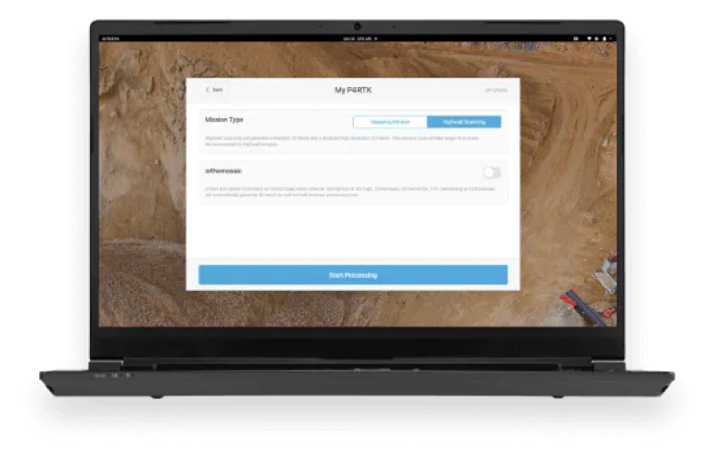
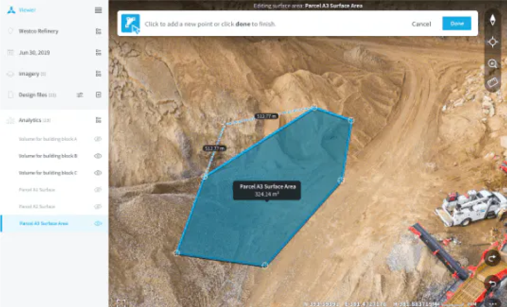
Skycatch provides an “all-in-one” solution for your Highwall Scanning and mapping needs. It provides aerial data capture automation, data processing, visualization, and analysis tools. Skycatch and RMUS will also assist you with personnel onboarding, training and support so that you can get the most of your data.
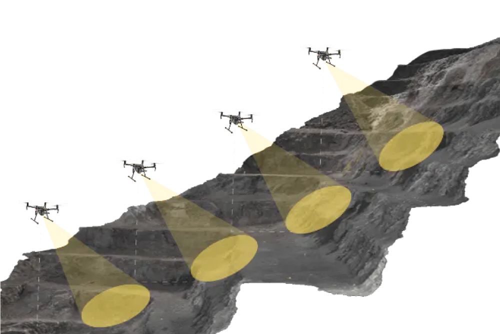
Traditional methods of capturing Highwall data, including laser scanners and manual mapping, are not always reliable and don’t always produce the detail required to make good decisions. Skycatch is the only drone-based solution for Highwall scans that can generate consistent centimeter level data that matches laser scanners. This end-to-end solution provides a higher resolution output without the holes and gaps that laser scans often contain. Traditional methods of capturing Highwall data, including laser scanners and manual mapping, are not as reliable and don’t always produce the detail required to make good decisions.
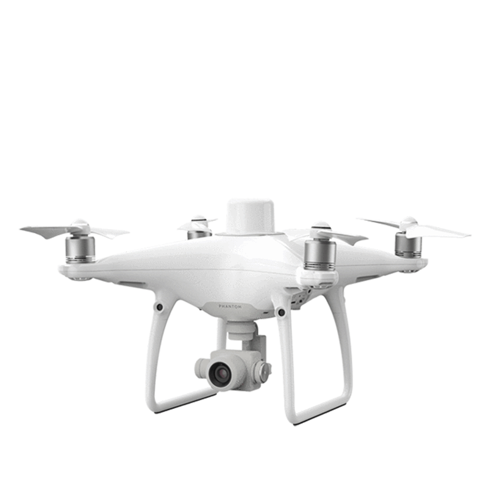
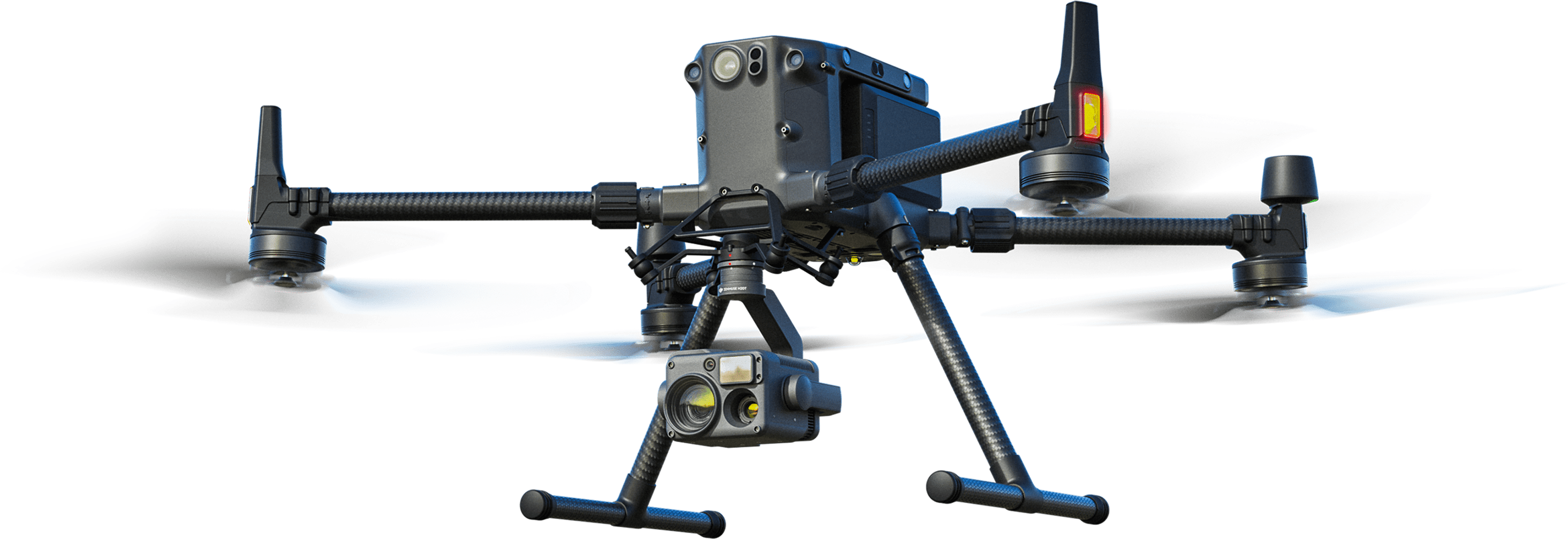
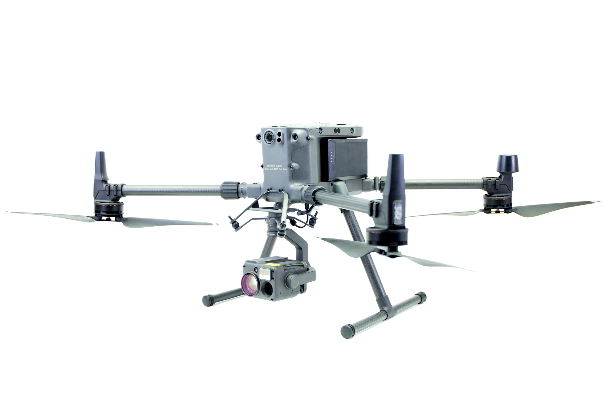
The Highwall Scanning Solution can be configured with either the DJI Phantom 4 RTK or M300 platform. Please click below to get individual quotes on the setup you prefer.
For pricing, please click the links below or call one of our Sales Associates at 800-793-3548