


-
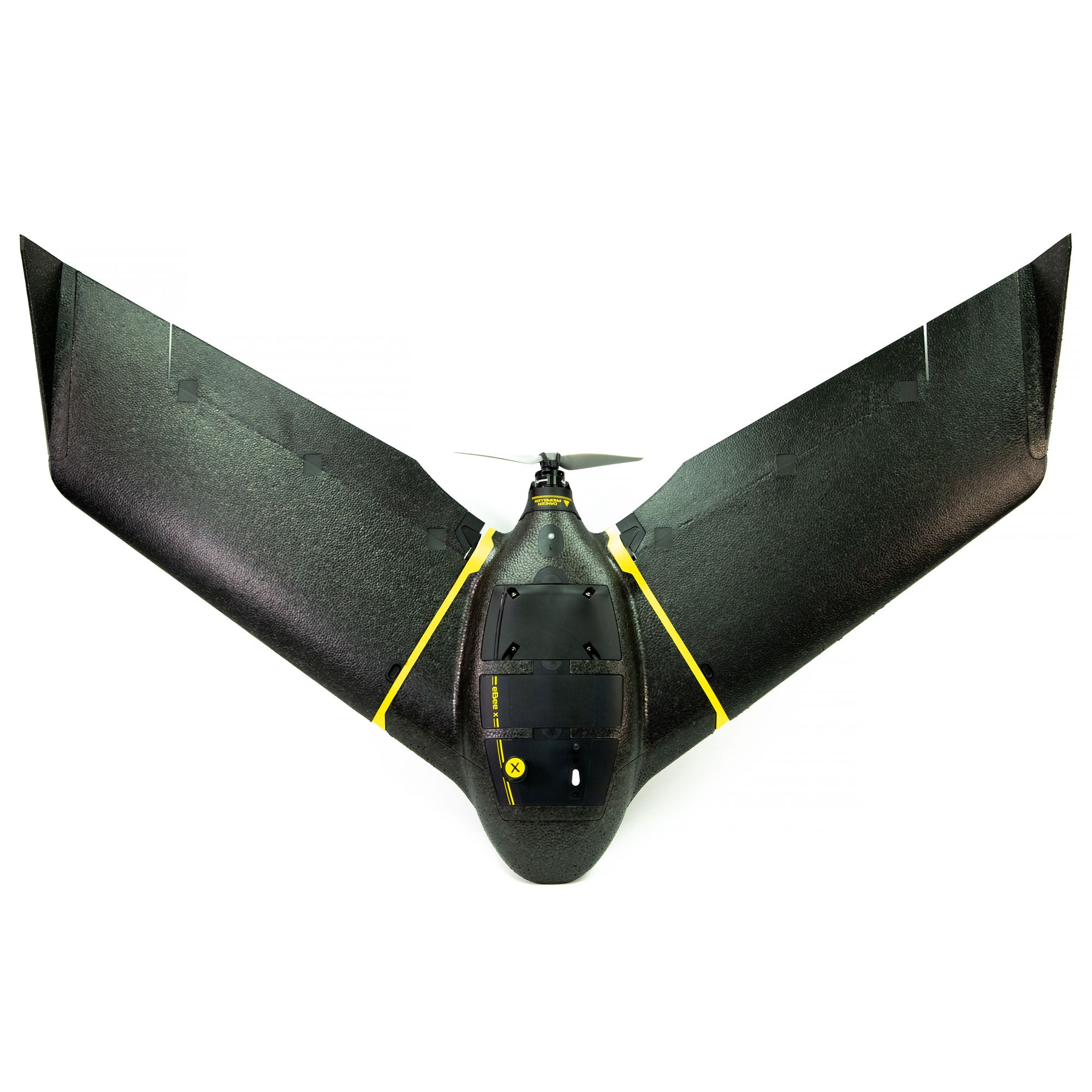
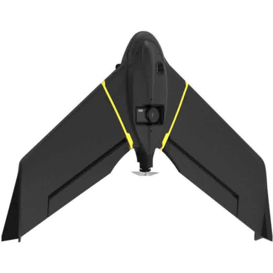
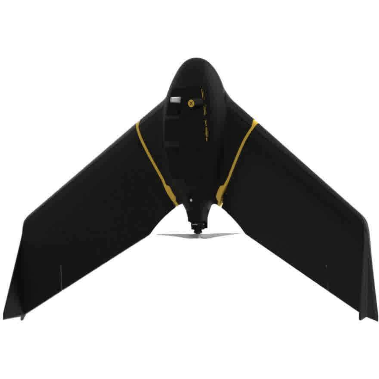
Product Description
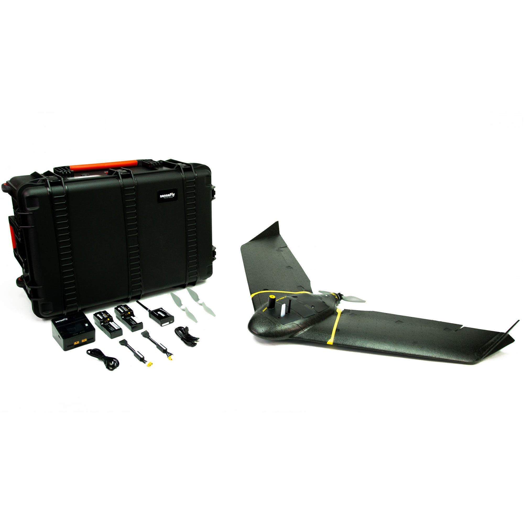
- eBee X Airframe - RMUS will help you select payload for mission specific needs
- 4 - eBee X Standard Batteries - For continuous operations
- 2 - eBee X Propeller Kit - Spares to have on-hand
- eBee X Battery Charger - For continuous operations
- Ping USB - For locating manned aircraft nearby
- Radio Tracker and Transmitter - For locating lost aircraft in rough terrain or dense vegetation.
- Extended 1 year warranty -or- Always-On Service Package - For rapid recovery after crash or issues that may arise with aircraft.
- senseFly eBee X Endurance Batteries
- Endurance Activation
- eBee X RTK/PPK Activation
- senseFly GeoBase
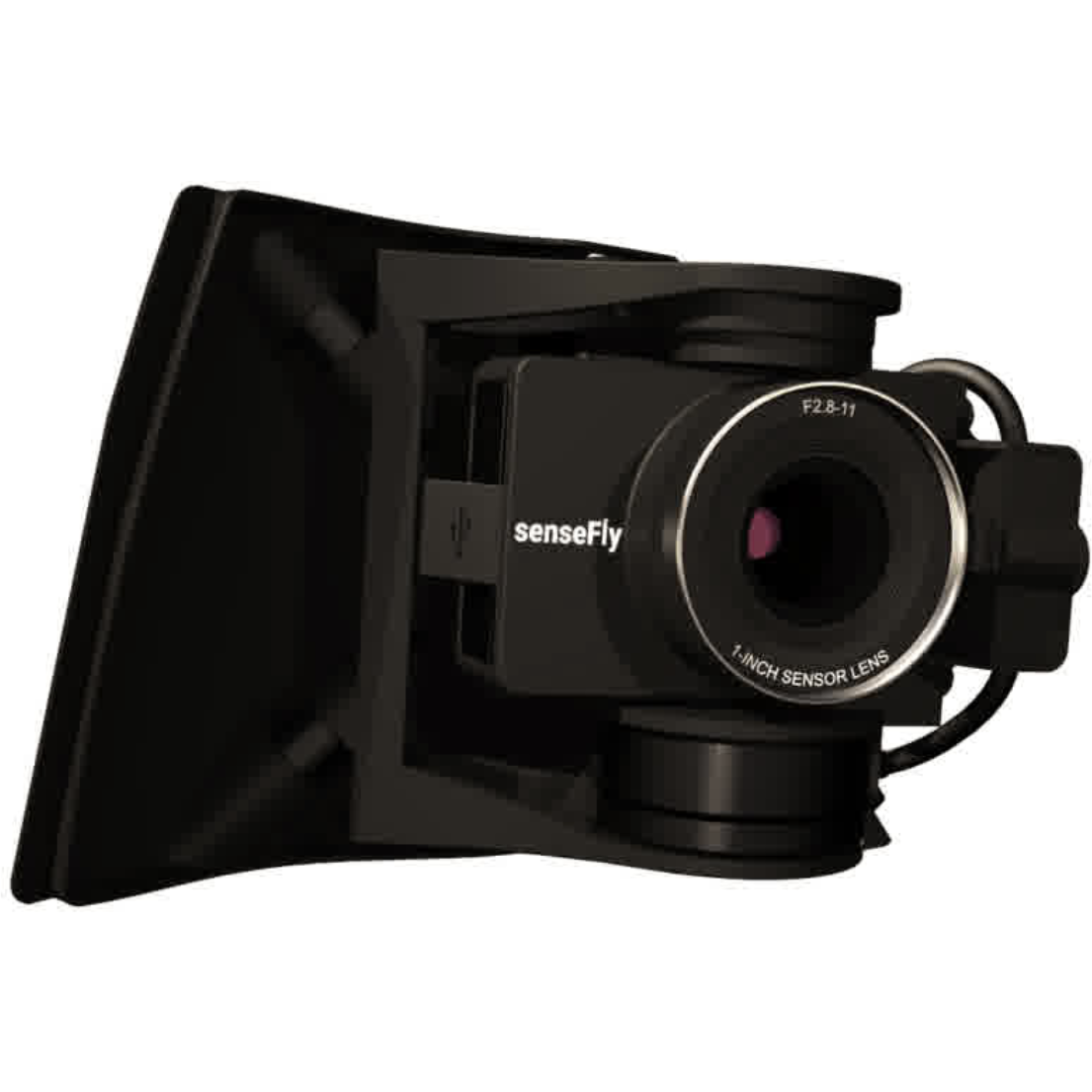
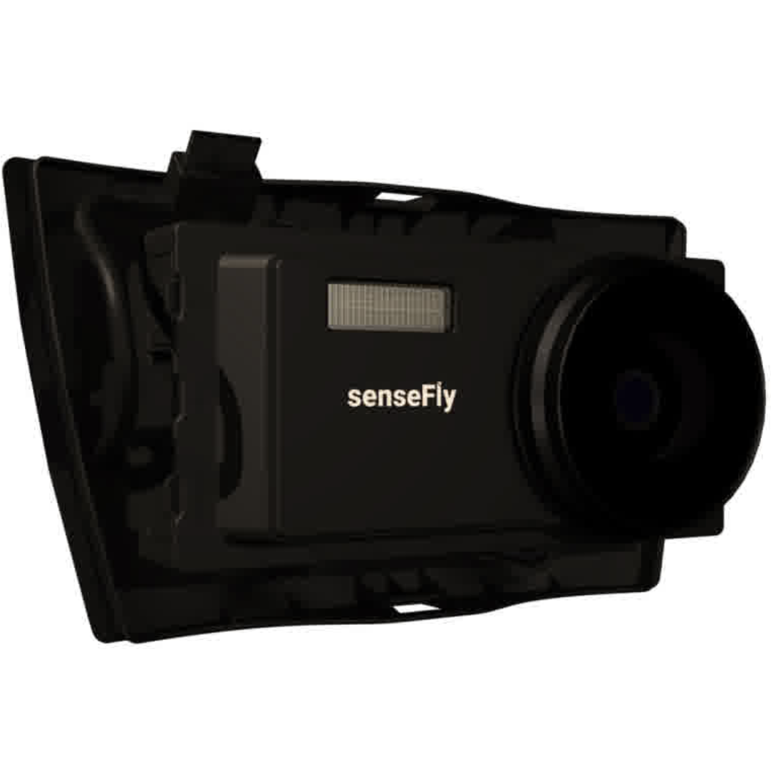
- senseFly S.O.D.A. - Economic mapping and modeling
- senseFly S.O.D.A. 3D - Best for 3D Modeling
- senseFly Aeria X - Best for 2D mapping and photogrammetry
- senseFly Duet T - Relative thermal mapping
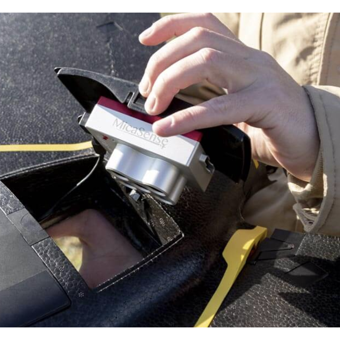
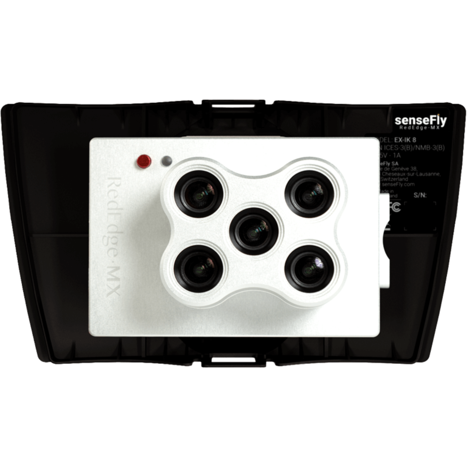
- Micasense RedEdge for eBee X - Advanced multispectral
- Parrot Sequioa+ for eBee X - Basic multispectral
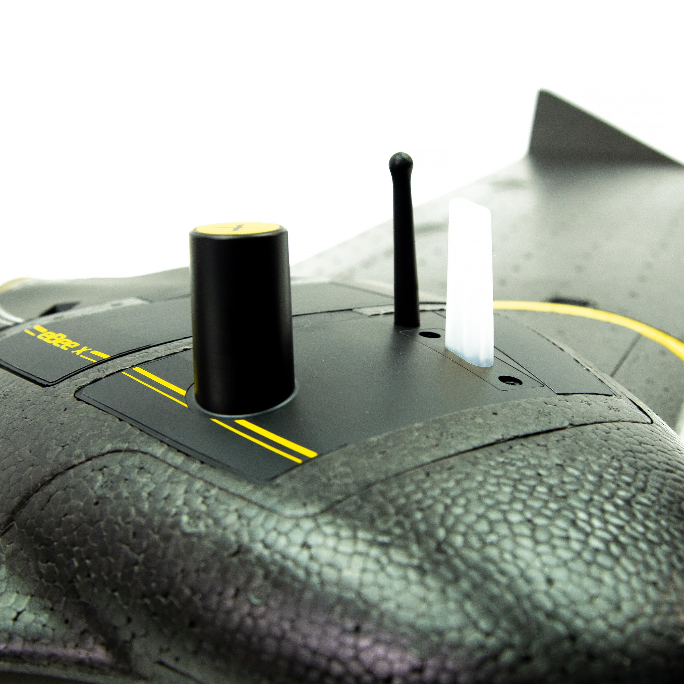
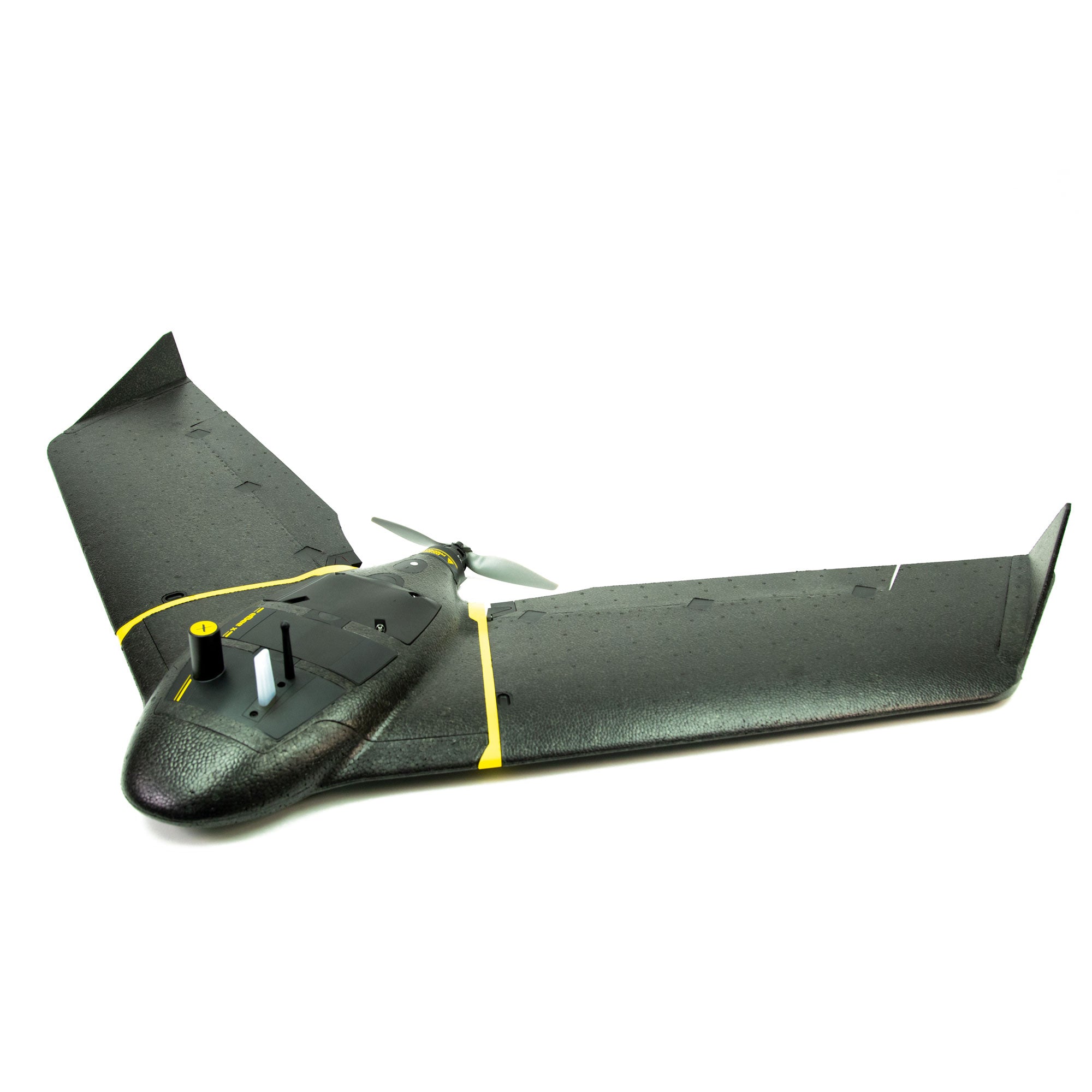
The senseFly eBee X can meet the exacting requirements of every project. Its unique Endurance Extension unlocks a maximum flight time of 90 min—for vast coverage of up to 1,235 ac at 400 ft AGL. The additional RTK activation helps you achieve absolute accuracy of down to 3 cm (1.2 in), without GCPs.
RMUS senseFly eBee X Packages
The RMUS senseFly eBee X packages contain all you need for a complete workflow solution. The packages include the eMotion flight software, Pix4D mapper software for data processing, training (on-line and in-person) and mission specific cameras and sensors. The packages are generally less than $20,000 USD.
Package Suggestions
For Longer Flight Time
For More Precision
Payloads
e Motion Flight Software
Plan
With eMotion, flights are built using mission blocks. Just choose your block (aerial mapping, corridor etc.), highlight the region you want to map, define key settings, and eMotion auto-generates your drone’s flight plan. Multi-flight missions are supported and you can activate/import elevation data for even safer, terrain-accurate flights.
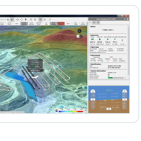
Simulate
eMotion’s Simulator mode helps you to optimise your flight plan and explore the functions of your senseFly drone. Just enter the wind strength and direction, then press Play to ‘launch’ your drone. Now you can view all aspects of your flight as the drone flies its mission.
Fly
Upload your flight plan wirelessly to your drone. After a simple hand launch, eBee fixed-wing drones then fly, capture images, and land themselves.
Export
eMotion’s built-in Flight Data Manager automatically handles the georeferencing & preparation of images required for post-processing in software such as Pix4Dmapper (vastly reducing third-party software compatibility issues).
Accessories

Radio Tracker - Find Lost Aircraft

Ping USB - Manned Aircraft Alerts

GeoBase - GNSS BaseStation